Kursk - Terrain Page
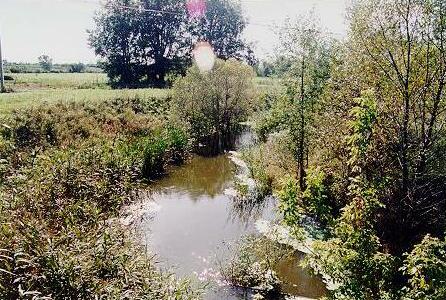
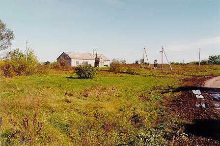
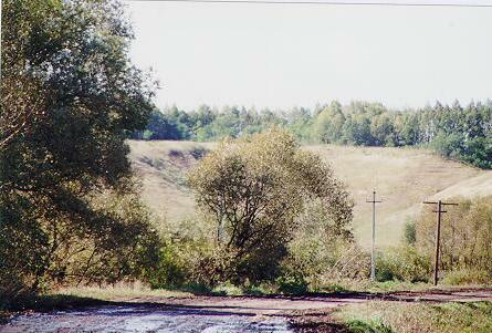
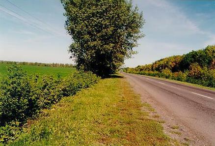
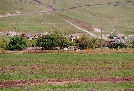
The terrain around the battle field is not what I expected... I had orignally assumed simple, rolling, open Steppe terrain. Look at the photos and views - it is actually very lush ground, with the hills and ravines much steeper and deeper than I had envisaged.
The terrain rises gradually to the North, and favours the defender. The roads are mostly "unimproved", turning to mush in any serious rain. At the time of the battle, the corn fields were ripe and standing tall - obstructing visibility. There are a number of streams, with a fair bit of swampy ground surrounding them, along with fairly dense scrub/trees.
Large ridges do facilitate the movement of armoured formations, but also channel them. The importance of the ground around Prokhorovka slowly becomes apparent !
The pictures below give some idea of what it looks like...
- 3D Visualisations, built using Genesis II:
- 3D Visualisation, Prokhorovka area - old
- Prokhorovka from the SW - a first pass
- View from Prokhorovka to the SW
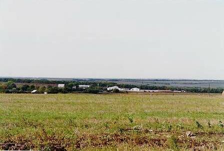
- View from Vinogradovka towards Prokhorovka
- Aerial view from above Komsomolets towards Prokhorovka
- View from Komsomolets towards Prokhorovka
- View from Komsomolets towards Prokhorovka [higher fractalisation]
- View from above Teterevino to the NE
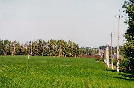
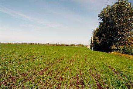
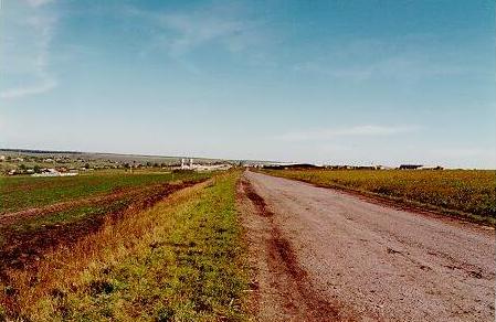
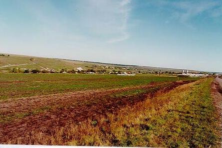
- Pictures found on the web - web-site now gone:
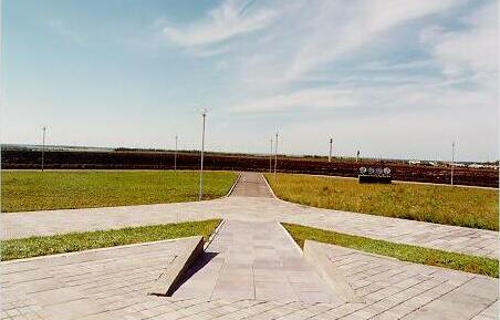
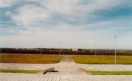
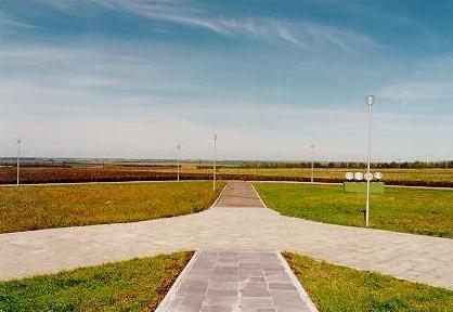
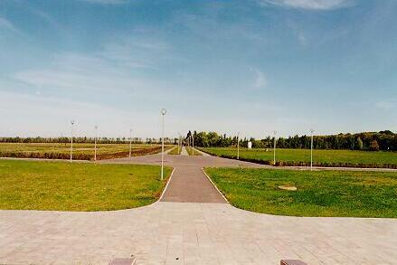
- Kursk Grassland - 1
- Kursk Grassland - 2
- Kursk Grassland - 3
- Kursk Grassland - 4
- Pictures from the Kursk Database:
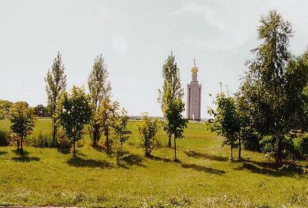
- Looking west across the Prokhorovka battlefield from the monument
- Looking northwest from the Prokhorovka belltower
- Looking north from the Prokhorovka belltower
- Looking northeast from the Prokhorovka belltower
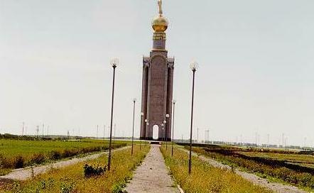
- Belltower from Rotmistrov's observation post, W of Prokhorovka
- Belltower from Rotmistrov's observation post, W of Prokhorovka (Zoom)
- View northeast from Rotmistrov's observation post
- Looking southwest from railroad embankment, SW of Prokhorovka
- Looking SW along Psyel River from Prelestnoye
- Looking NE along Psyel River from Prelestnoye [!!]
- Looking SE toward Prokhorovka from Psyel at the Prokhorovka ridge line
- Looking N at the ridge line from the Psyel River
- Looking NE along the main road toward Prokhorovka at the Prelestnoye intersection
- Looking NE at the monument from the crest
- Looking NE at Prokhorovka from the crest
- Looking SE towards Luchki from the Jaokovlyevo-Prokhorovka road
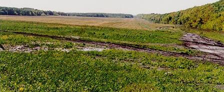
- Sukhaia Plota gully from the Luchki road
- Sukhaia Plota gully from the Luchki road (zoom)
This GenesisII Ring site owned by
Alan Wilson.
[ Previous 5 Sites |
Previous |
Next |
Next 5 Sites |
Random Site |
List Sites ]
© Alan Wilson 1997, 1998, 1999, 2000 Last update: 17/2/00 10:03:05 PM GMT
![Looking NE along Psyel River from Prelestnoye [!!]](pictures/pic20.jpg)


