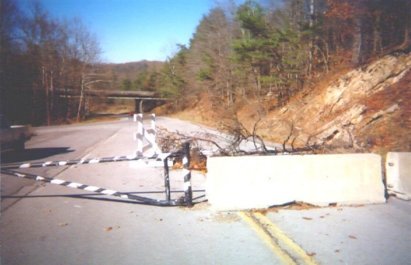
Looking north (Kentuckyward) from the southernmost closed section of US 25E, down the section that is remaining in service. The bridge is the same as in the previous picture, Pinnacle Road, leading up to the peak. On the left is my truck. Behind that on the left is the connection to Pinnacle Road. The signs along Pinnacle point this road out as Sugar Run Road. (Image 12 of 33)
<< Begin < Back Next > End >>