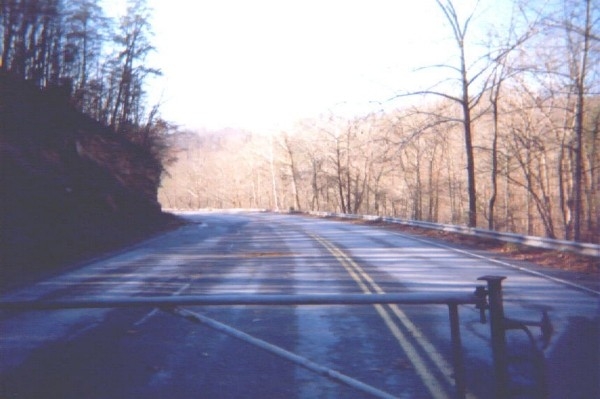
I went to the main vistor center of Cumberland National Park, hoping for a map that showed Old US 25E. The newer brochures showed it gone, not even a trail to mark it. A very helpful lady behind the desk had a copy of the old map that showed US 25E up the gap. Aha! She made me a copy and I knew where to go. Up Pinnacle Road to the small part of the road that was still in service. Off I drove, crossing over new US 25E. The old section is now part of Sugar Run Road leads off to Sugar Run and KY 988. There were gore areas here, just like at the Tennessee end, allowing a good amount of parking on the old highway if you are not too choosy. I parked on the high end, towards what I hoped would be the Gap. I went down to the Kentucky (north) end and took a picture down into the closed portion heading towards Middlesboro, making sure I had the right place. The guardrail was in good shape. (Image 10 of 33)
<< Begin < Back Next > End >>