| |
US 101 Photo GalleryMexico to Downtown San Diego |
 |
 |
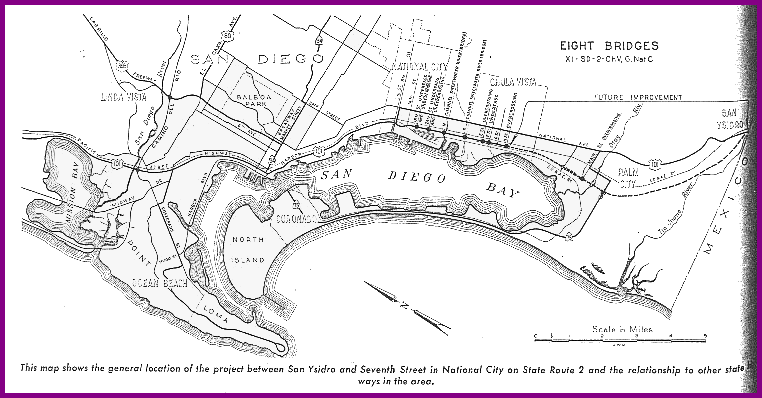
Click on image for larger view (~ 51 kb)
"This map shows the general location of the project between San Ysidro and Seventh Street in National City on State Route 2 [US 101] and the relationship to other state highways in the area."

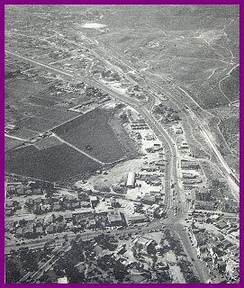
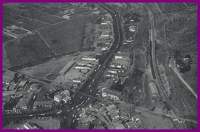
In 1943, 8.7 miles of divided highway was built to serve the defense industry during World War II and is now Harbor Drive, but was called Harbor Blvd. then. US 101 followed this road from its southern terminus at Seventh St. in National City to the intersection with Pacific Highway. The California Highway Commission passed a resolution to construct a freeway from the Mexican border at San Ysidro to the southern terminus at Harbor Blvd. on August 21, 1947. The freeway was given the name "Montgomery Freeway" in honor of John J. Montgomery, a pioneer in the field of gliders who is said to have made the first glider flight in 1883 along his farm which was on the right of way. This freeway was upgraded eight lanes in 1973, eliminating almost all traces of the old freeway.
These pictures accompanied an article in the January/February 1951 volume of California Highways and Public Works titled "Montgomery Freeway. Will Relieve Traffic in South San Diego."
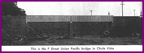 |
"This is the F Street Union Pacific bridge in Chula Vista." |
| "This is the E Street freeway overcrossing in Chula Vista." | 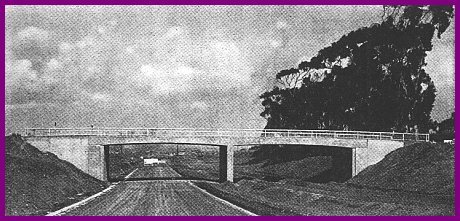 |
| This crossing is in the process of being widened, as can be seen by the crane driving in pilings for the northbound bridge. The existing bridge was used for southbound traffic. | 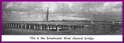 |
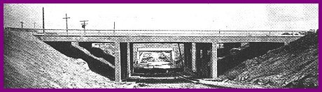 |
"This is the 24th Street Union Pacific undercrossing structure in National City." |
 |
Continue north to Downtown San Diego: pre 1940 and 1940-1958. Return to the US 101 Page. |
Go to the Historic California US Highways Main Page
http://www.gbcnet.com/ushighways/101pics1.html