M E T H O D O L O G Y
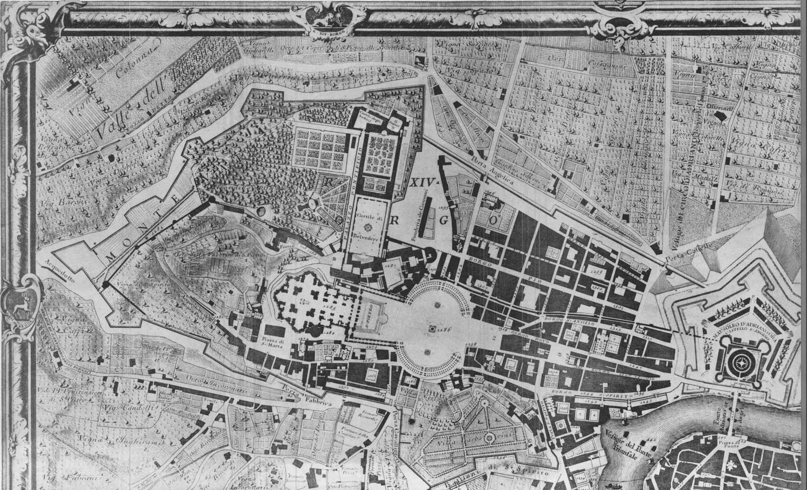
"Nolli's map was chosen as the starting point...not only because of its importance in the cartographic history of the city, but also because it was drawn at the end of considerable Baroque urban development and the beginning of a long period of stasis during which urban changes were few and far between..."
- Rome Research Center in Architecture and Urban Planning
Portion of original Nolli Map by Giambattista Nolli, ca. 1692-1756
Click on map for larger image
INTRODUCTION
NOLLI MAP
A Nolli map, as seen above, typically, includes the floor plans of interior public spaces to illustrate the extents of the urban environment in one area. However, for the purpose of this project, the figure-ground methodology found in the Nolli maps will help to illustrate the evolution of urban space in the Independence National Historical Park and Independence Mall. More specifically, the project will focus on the considerable subtraction of urban density at the site.
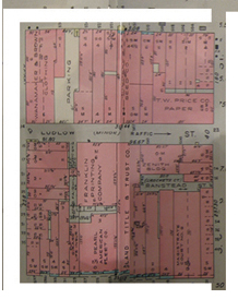
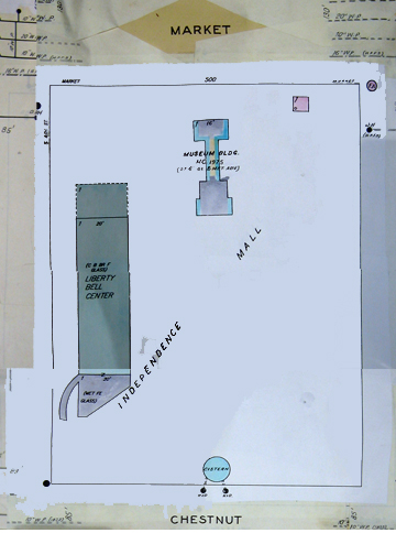
Sanborn Fire Insurance maps, Hexamer General Surveys and any other maps with building outlines are the main resources to begin the figure-ground mapping process in order to outline the built forms (the solids).
PROCESS HIGHLIGHTS
1 - photograph each Sanborn map archived at the Free Library Maps Collection Department;
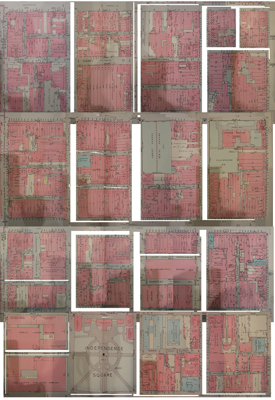
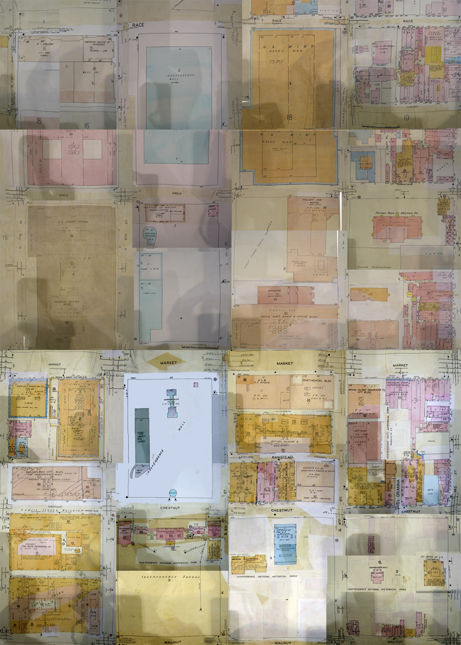
2 - scan/download and compile/arrange images into the individual maps according to the original Sanborn map.
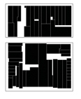
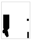
3 - bring complete map image file into AutoCAD where the built structures will be traced and filled in solid black, and streets are traced in gray, resulting in the remaining white spaces, which are the voids (open spaces).
4 - by starting with the 1939 Sanborn map, the mapping of subtracted and added built structures occur by referencing the later maps. Through this process, the visual changes in scale and density are revealed and a comparative study can be done. Furthermore, this comparison of figure-ground maps, abstracted down to solids and voids, reveals the hidden layers of information that are not clearly legible from the original map reading.
5 - the INHP archives were utilized to research and acquire information documenting the physical planning process of INHP and Independence Mall. This includes acquisition of visual resources: construction documents, photographs, axons, and historic maps; site management reports, property acquisition and deeds, cultural landscape reports, planning commission reports, and of the like.
S A M P L E OF COMBINED LAYERS
FIGURE-GROUND DETAILS of 1939-2004 SANBORN MAPS:
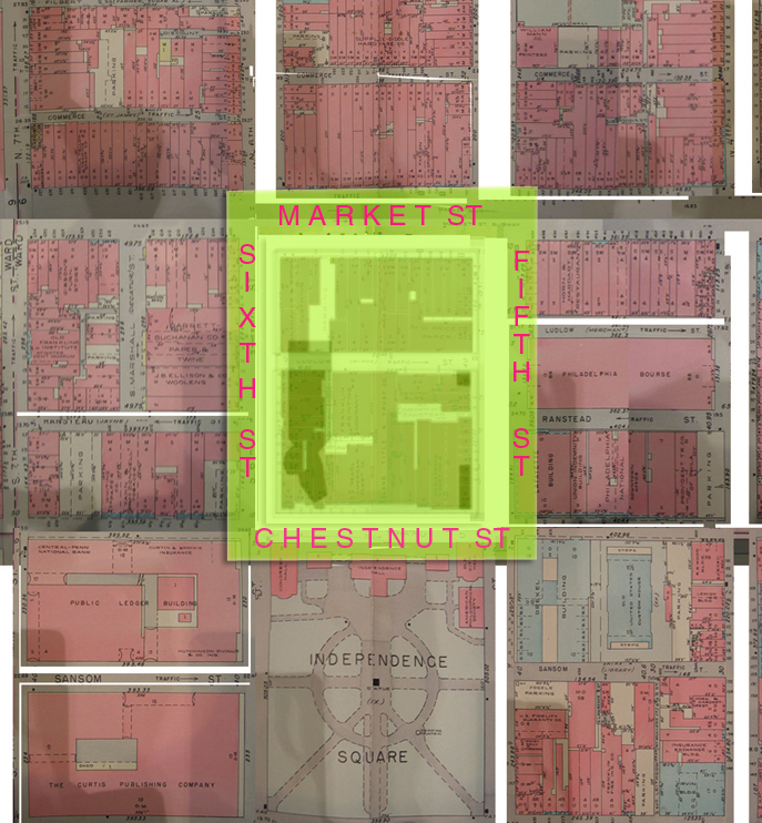
Location between Market Street and Chestnut Street (N-S) , and between 5th and 6th (E-W).
Click on map for larger FULL image
SEE RIGHT FOR EXAMPLE OF PROCESS
P R O C E S S
1a. ORIGINAL 1939 SANBORN MAP: pieced together
1b. ORIGINAL 2004 SANBORN MAP: pieced together
2a. DETAIL of 1939 SANBORN MAP: Location between Market Street and Chestnut Street (N-S), and between 5th and 6th (E-W).
2b. DETAIL of 2004 SANBORN MAP: Location between Market Street and Chestnut Street (N-S), and between 5th and 6th (E-W).
3a. FIGURE-GROUND DETAIL of 1939 SANBORN MAP: Location between Market Street and Chestnut Street (N-S) , and between 5th and 6th (E-W).
3b. FIGURE-GROUND DETAIL of 2004 SANBORN MAP: Location between Market Street and Chestnut Street (N-S) , and between 5th and 6th (E-W).
A N A L Y S I S
The FIGURE-GROUND details of the 1939 and 2004 maps reveal the following:
S U B T R A C T I O N:
- masses of individual rectilinear structures,
- street/sidewalks.
- subdivided parcels
- density
A D D I T I O N :
- open space
- bulk-scale building structure
- changes in building structure/use
- relationships to the immediate context:
1) built structure to built structures, 2) built structures within opens space, and 3) proximity to street, sidewalk, and overall block