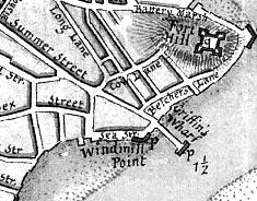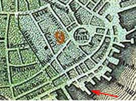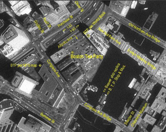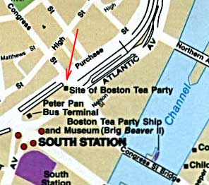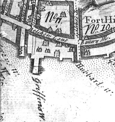
Griffin's Wharf per 1769 map of Boston (A new plan of ye great town of Boston in New England in America with the many additionall buildings & new
streets, to the year, 1769) by William Price.
- This map is somewhat consistent with the 1777 map in that Griffin's wharf is shown at the foot of Hutchinson St. (but slightly eastward),
- Griffin's Wharf is shown as an extension of Gridley Street
- Hubbard's Wharf is shown to the east of Griffin's.
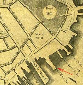
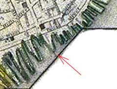
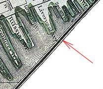
- We will see that this location for Griffin's Wharf is confirmed by the 1800 map.
|
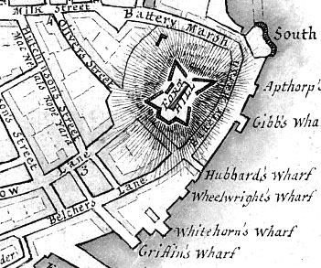
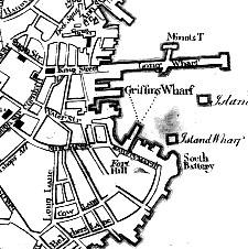
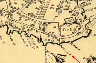
Griffin's Wharf per 1777 map of Boston (A plan of the town of Boston with the intrenchments &ca. of His Majesty's forces in 1775, from the observations of
Lieut. Page of His Majesty's Corps of Engineers, and from those of other gentlemen. ) by Sir Thomas Hyde Page.
- This map is somewhat consistent with the 1769 map in that Griffin's wharf is shown at the foot of Hutchinson St. with the back of the wharf slightly westward. However, note that the end of Griffin's Wharf is shown as eastward from a line passing through Hutchinson St. since the wharf is shown slightly at an angle to the street.
- Hubbard's Wharf shown as end of Oliver(s) St.
- Griffin's Wharf is shown to the west of Hubbard's and slightly to the west of Hutchinson's Street (which will by 1838 be renamed Pearl Street).
- This is the map found (with annotation) in Boston Tea Party, the Trigger of our Revolution.
|
