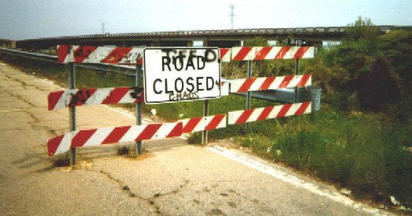

SCDOT marks its maintained roads with little black street signs. I am not sure what the code means, it is related to the secondary highway system. This sign, like the rest of the set, was taken from the Santee end of the bridge. The bridge was abandoned in place when it was discovered to be on unstable footing. (4/99)

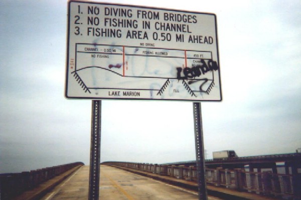
Don't fish in the channel. I did not take any pictures of the most colorful graffitti which blights the old structure. (4/99)

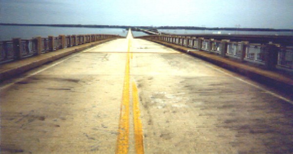
The high point of the bridge, looking north over Lake Marion. (4/99)

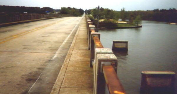
Looking south. On the far left is I-95 / US 15 / US 301. Straight ahead is Bass Ave (the old road). On the right is a concrete strip of a road that used to be a railroad right-of-way. The old pilings below and to the right are further evidence of the old rails. This might even be from an older highway bridge. (4/99)