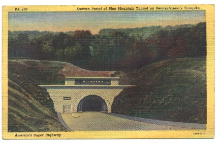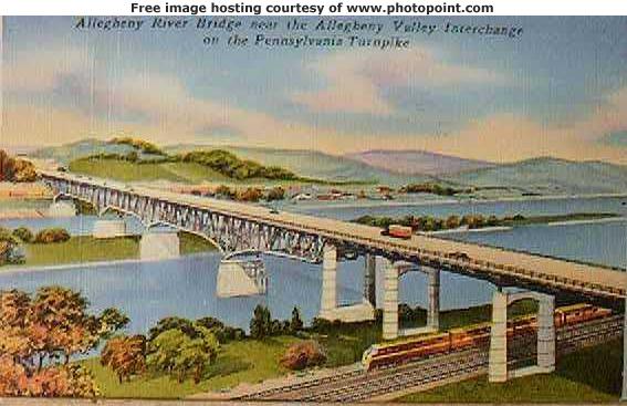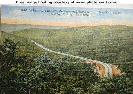
Pennsylvania Turnpike History Site
Look for us in the Summer 2000 Lincoln Highway Journal !
Transportation history by Joseph Topinka...Irwin,Pa.
A history of transportation article will be listed in the summer 2000 Lincoln Highway Journal.We are also linked to now, from several Transportation sites such as the Maine Turnpike,New Jersey Turnpike and others.
Enjoy the site ( there are currently 7 pages ) and e-mail your transportation history to us !
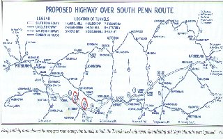
History of the South Penn Railroad from 1883-85
This old railbed currently parallels most of the eastern Pennsylvania Turnpike through the Mountains
The Pennsylvania Turnpike was originally an idea for a railroad, which started in the 1880s but was never completed.4 1/2 miles of tunneling was completed at 7 mountains from Laurel Mountain to Blue Mountain.
The Pennsylvania Turnpike began as an idea for a railroad-the South Pennsylvania Railroad. William Vanderbilt envisioned a high-speed line going across Pennsylvania as a way to connect the east coast with Pittsburgh and points west. He began construction of the line in 1883, grading right-of-way and digging 7 tunnels. Political and financial maneuvering led Vanderbilt to abandon this effort on July 1, 1885, leaving 4 1/2 miles of half-finished tunnels and miles of graded right-of-way. Only 1 of the Origional 9 Tunnels were actually ever used. A short Line (Narrow Guage)Railroad called the Pittsburgh,Westmoreland,and Somerset Railroad ,used the Quemahoming Tunnel for its route from Ligioner to Somerset for 15 Years.
In the 1930's, some people who remembered playing on the right-of-way and in the tunnels lobbied the Pennsylvania legislature to study making an "all-weather" highway using Vanderbilt's abandoned right-of-way. This led to the eventual formation of the Pennsylvania Turnpike Commission and the construction of today's turnpike.
The original turnpike used most of Vanderbilt's right-of-way and several of the half-finished tunnels for the turnpike. The size of the existing single-track bores, and the available technology of the time dictated that the turnpike tunnels also be single-bore, with one lane of traffic in each direction.
of Early Transportation in Pennsylvania
and i will add you to our Page
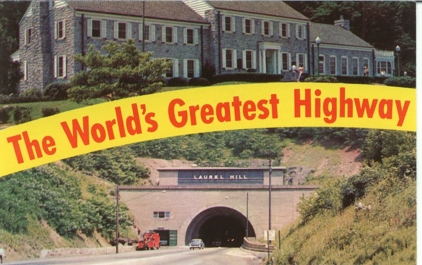
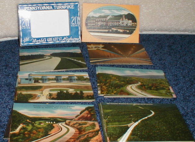
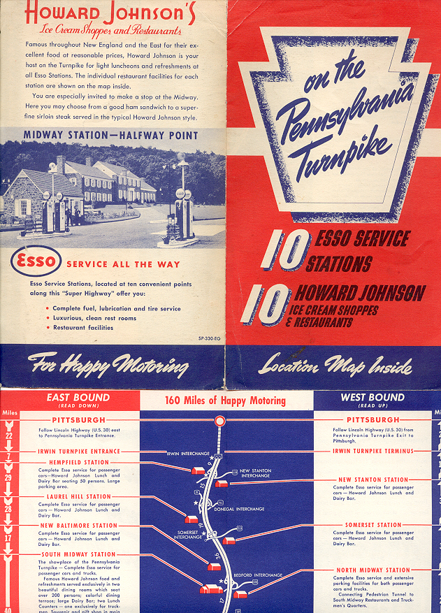
this Packet is dated August 1948 ,but was printed, and for sale at service plazas in 1941
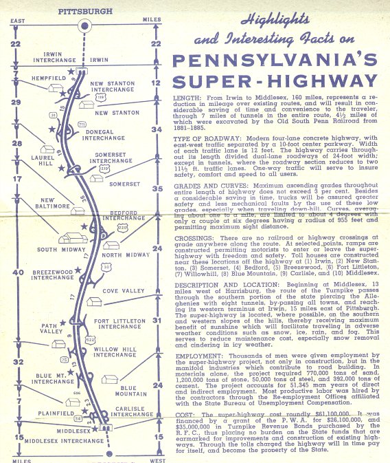
this Packet is dated october 1950
Notice the changes made from 1940 to early 1950
Turnpike History - During World War 11 Guards were stationed at each Portal of all the Tunnels
Their job was to stop all Suspicous People from entering the Tunnel
Until Questioned about the reason for their Travel.
Traffic was so scarce during the war
that Familes were seen picnicing in the median of the Roadway
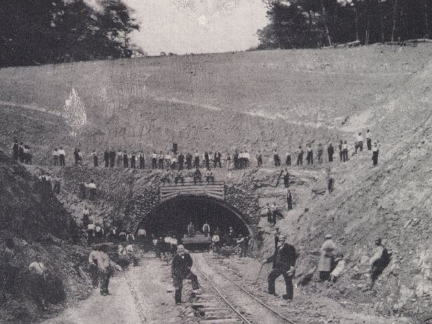
The Western Portal of Rays Hill Tunnel shown above in
1884 ( Construction of the South Penn Railroad ) Tunnel is 3,532 ft. long and was 70 percent completed in 1885
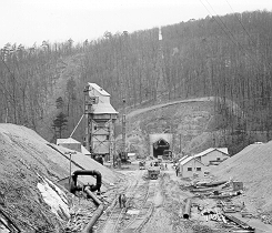
The Western Portal of Rays Hill Tunnel shown above in
1939 ( Under Construction ) Tunnel is 3,532 ft. long
The Western Portal of Rays Hill Tunnel below in
July 1950
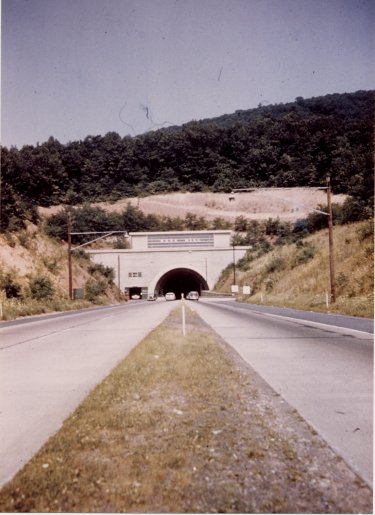
The Western Portal of Rays Hill Tunnel
July 1980 ( tunnel was bypassed in 1968 )
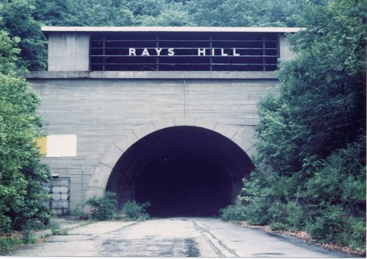
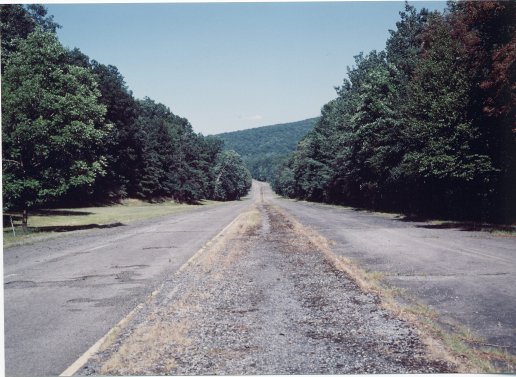
The abandoned roadway above between Rays Hill Tunnel and Sideling Hill Tunnel ."
Looking east towards Sideling Hill tunnel. Closed Nov. 1968, North of Oregon Road.
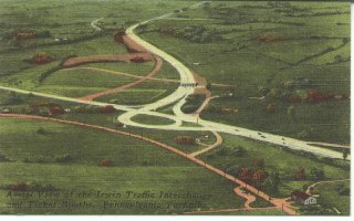
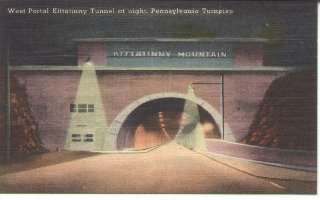
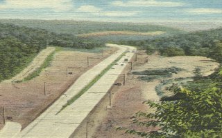
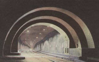
"Pictures below are from August 1941.
20 pictures came in a small Packet called
"20 Views of Americas Superhighway"
"The original Irwin Interchange Looking East."
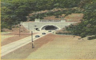
"Western Portal of The Kittatinny Tunnel."
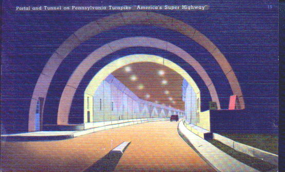
"Interior View of the Tunnels."
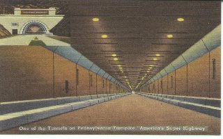
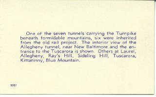
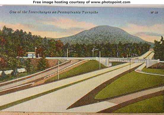
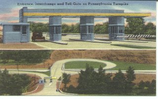
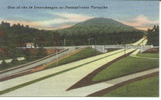
"A Typical 1940 Interchange ."
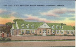
"A gulf Service Station and Howard Johnsons Restaurant."
"A Typical Interchange Layout."
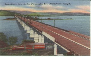
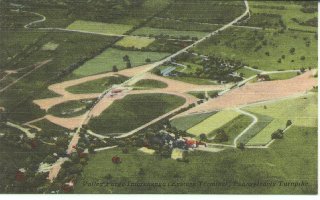
"The original Eastern Terminus.The Valley Forge Interchange."


Pennsylvania Turnpike
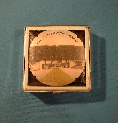
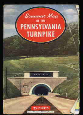
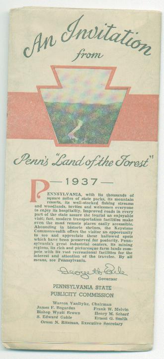
Pennsylvania Turnpike History Page 2 click here!Some misc. turnpike items shown below
