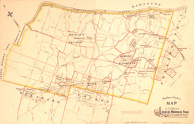
This is a clickable imagemap linked to the individual plates in this volume. Further down on this page is a list of local place names that link to the same plates. Each of these plates is in turn linked to a more detailed image of a quarter of that plate (but be aware that these are somewhat larger files, about 400k each), reached by clicking on one of the four quadrants of the overall plate.