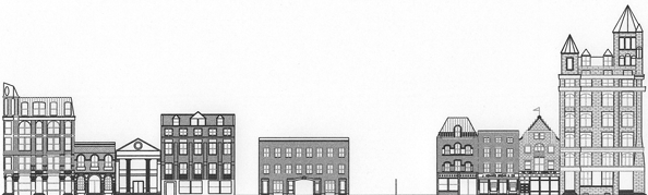
Reconstructed elevation c. 1885, drafted by Caleb C. Linville, HC'05.
[More: add atlas footprints at this
scale, approx 1.5 px=1 ft.]
[Closer, deeper: view diced panorama
and footprints at larger scale, approx. 3px=1 ft., aligned and
linked to additional images and data on individual buildings]