GALLIPOLI PHOTOGRAPHS
UNPUBLISHED PHOTOS & MAPS OF THE 1915 CAMPAIGN
All these images are taken from photographs or postcards in my personal archives. They are reproduced here so they can be freely downloaded and used, but if you want to reproduce them in a book or on another website then please let me know.
Paul Reed
![]()
PHOTOGRAPHS FROM POSTCARDS
 |
View of ANZAC. |
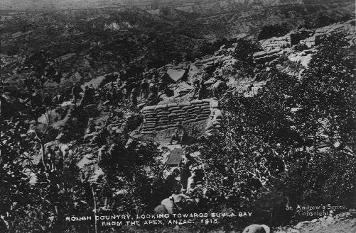 |
Rough Country, Looking towards Suvla Bay from the Apex, ANZAC 1915. |
|
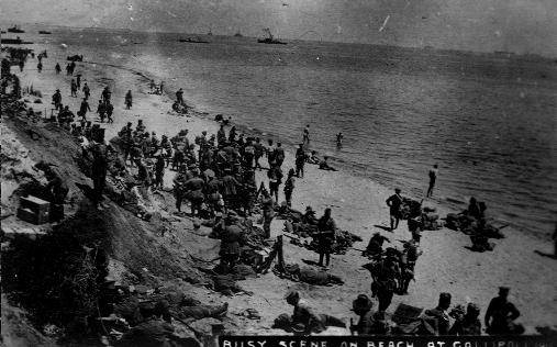
A busy scene at ANZAC. |
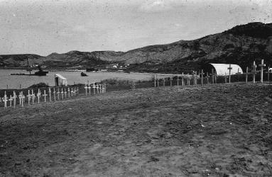 |
Ari Burnu Cemetery in 1919. |
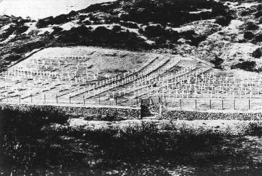 |
Shrapnel Valley Cemetery in the early 1920s. |
MAPS OF GALLIPOLI
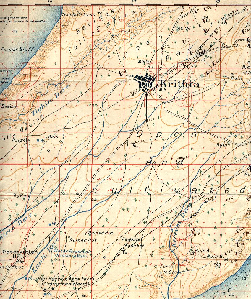 |
1/20,000 map showing battlefield around Krithia. |
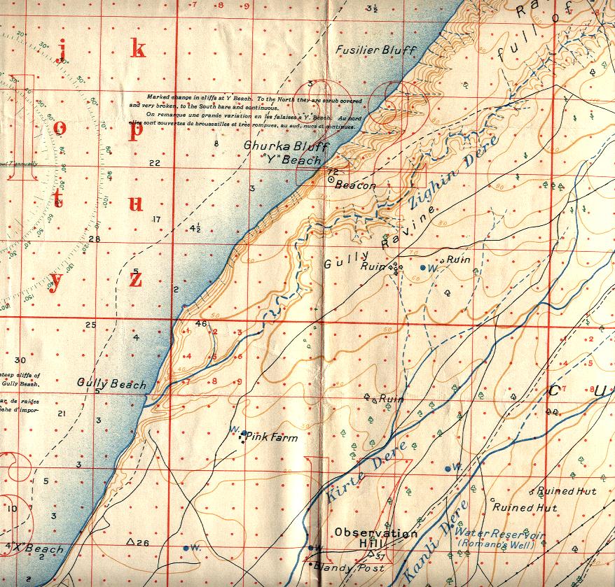 |
1/20,000 map covering Fusilier Bluff, Y Beach and part of Gully Ravine. |
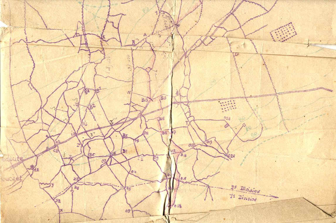 |
Map of French sector. Approx 1/5,000 scale. |
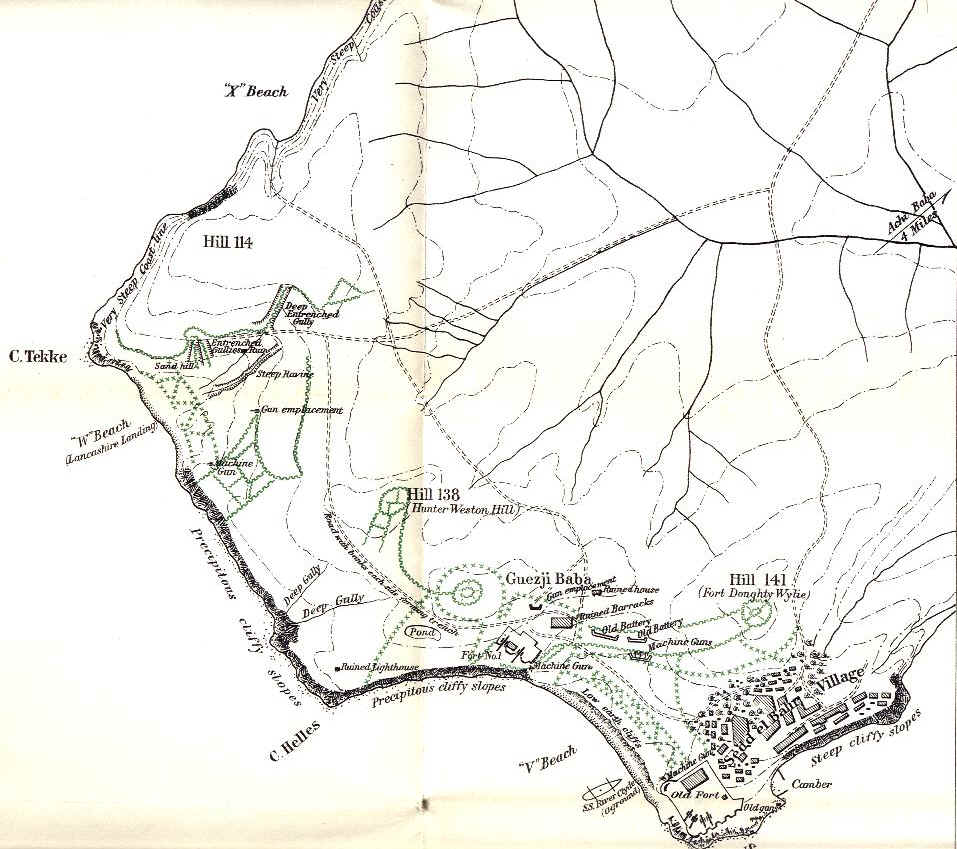 |
Official History map of Cape Helles, showing the main British landing beaches. |
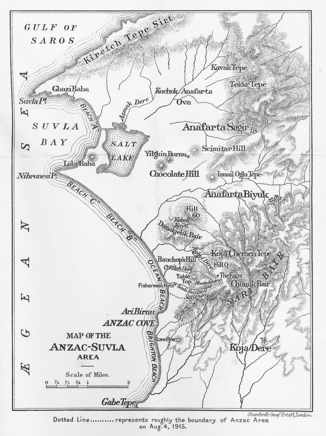 |
Map of Suvla & ANZAC from the History of the 10th (Irish) Division at Gallipoli. |
![]()
![]()
![]()
![]()
![]()
![]()
![]()
![]()
![]()
![]()
![]()
![]()
![]()
