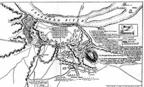
| French map of Seige of Savannah |
|
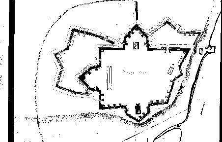
| Fort Prevost, 1780 |
|
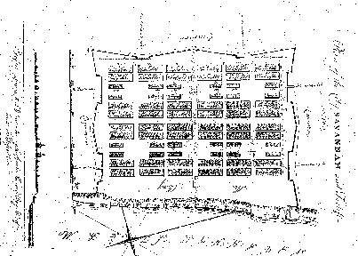
| Plan and profile of Savannah fortifications, 1757 |
|
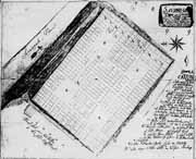
| Star shaped Fort Wayne is shown in the upper right corner, 1756 |
|
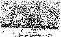
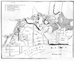
| The British landing site is shown at the bottom left. The skirmish line with rebel troops is in the intersection shown at the top center. |
|
| Colonel Carrington's 1881 conception of battle lines during the Siege of Savannah in 1779 |
|